- My saved exits
- All highways
- All locations
- Random highway
- Random location
- Random exit
- A guide to IBAHM
- A guide to highways
- Contact us
- Privacy Policy
- hwy:
- in:
- name:
- exit:
A quick guide to highways in California
What is a highway?

By definition, a highway (in North America) is a "main road, especially one connecting major towns or cities". This definition allows for highways to range from tiny roads in secluded forests (e.g. parts of California SR-17) to massive multilane freeways that stretch across the United States (e.g. I-80).
The heavily traveled highways are generally freeways—highways that have controlled access via entrance and exit ramps as opposed to traffic lights or stop signs. Some highways, such as California State Route 1, have very little traffic over certain areas, so they can get away with having exits controlled by stop signs. Others, including every Interstate, some U.S. Routes (101 included), and some State Routes, connect major cities and areas, consequently requiring higher speed limits, on- and off- ramps, and more lanes.
What are the different types of highways in California?

Interstates
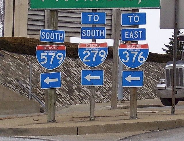
Interstate highways, known distinctly by their red, white, and blue shields, are federally-maintained freeways that make up a network known as the Interstate Highway System. The system was proposed by then-President Eisenhower in the '60s as a replacement for the U.S. Numbered Highway System. The proposal stated that all Interstates would be controlled-access freeways that would have to commit to federal standards. As the name implies, Interstate highways can run between states, but don't necessarily have to.
U.S. Numbered Highways
The older U.S. Numbered Highway System was put in place in 1926 as the first nationally standardized system of roads. The U.S. Routes follow a less strict ruleset than the Interstates, so some smaller U.S. Routes can be rural two-lane roads while others are major freeways that connect major metropolitan areas. The U.S. Route system began its phasing-out when the Interstate system was introduced in 1956. They still widely exist and are still heavily-traveled, but many former U.S. Routes were decommissioned in favor of Interstates. U.S. Routes can be distinguished by the black-and-white shield with the peculiar "highway" shape.
State Routes
Each of the fifty states has its own state highway system, which is maintained by the state as opposed to the country. The shield differs from state-to-state; California's is a green spade. Since these highways are state-funded, they stay inside the state and are therefore shorter for the most part. SR-1 is the longest state route and runs across the coast of the Pacific Ocean for the majority of the length throughout the state. SR-99 is the second-longest state route and runs more inland through cities like Fresno, Stockton, and Bakersfield. Like U.S. Routes, California State Routes are not as standardized as Interstates.
County Routes
County routes are the lowest level of highway, known by their blue-and-gold pentagonal shields. They are maintained at the county level and therefore are usually two-lane roads. County routes are named with a letter (A, B, D, E, G, J, N, R, or S depending on their location in the state) and a number (e.g. CR-G4, which runs through Santa Clara County). The majority of county routes in the Bay Area are in Santa Clara County. Currently, IBAHM doesn't index county routes.
How are highways numbered?

Between the four different systems are different numbering systems. Some are more sensical and follow a pattern while others seem random and jumbled.
The Interstate system has a numbering policy, but an extreme amount of exceptions to the rules. Interstates are divided into two different categories: primary interstates, which run cross-country and are denoted by a one- or two-digit number, and spur routes, which run off of major interstates and are denoted by a three-digit number (a one-digit number is prepended to the major route the spur is attached to). Generally, major interstates that run east-west are assigned even numbers and major interstates that run north-south are assigned odd numbers, but there are numerous exceptions to the rule. For spurs, the numbering is unrelated to whether the route runs north-south or east-west, although, for some reason, a few highways (such as I-238) are dubiously east-west as opposed to the assigned north-south.
How are exits numbered?

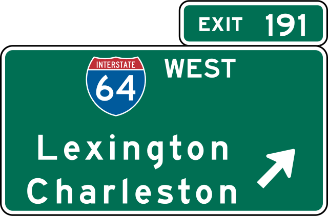
Not all highways have exit numbers. All interstates have them, as well as major U.S. Routes and State Routes (like US-101 and SR-24). Those highways are numbered by distance—that is, by the amount of miles between each exit. For example, Wolf Rd (I-280 exit 10) is 1 mile away from De Anza Blvd (exit 11), which is 2 miles away from the Foothill Expy (exit 13). If there are multiple exits within a mile (generally at large interchanges or dense areas), a letter will be appended (e.g. the 580/680 interchange in Pleasanton has exits 30A and 30B for 680 and 44A and 44B for 580).
However, exit numbering isn't always consistent and can be different based on the direction that you are heading (e.g. SR-24's Broadway exit is signed exit 4B if you are heading west, but is signed exit 4 if you are heading east.) IBAHM will choose whatever the sign says north- or westbound.
Exit numbers start at 1 or 1a (with a few exceptions, such as I-280 which starts at 2a, as its original western terminus got eaten by I-980) at the southern or western terminus. They increase until the northern or eastern terminus.
Why do highway X and highway Y have some of the same exits?

This is known as concurrency. This happens when two highways heading the same direction need to go over the same area and it makes more sense for them to merge temporarily. An example of this is the Golden Gate Bridge, where US-101 and SR-1 temporarily merge in San Francisco and un-merge in Marin near Manzanita. Another example is I-280 and SR-35, which merge on the stretch between San Bruno and Hillsborough.
This is only a short guide to the large world of highways in California. Other resources like CAHighways.org and the AARoads forum are great for educating yourself about the road and highway systems in the Bay Area, California, and worldwide.